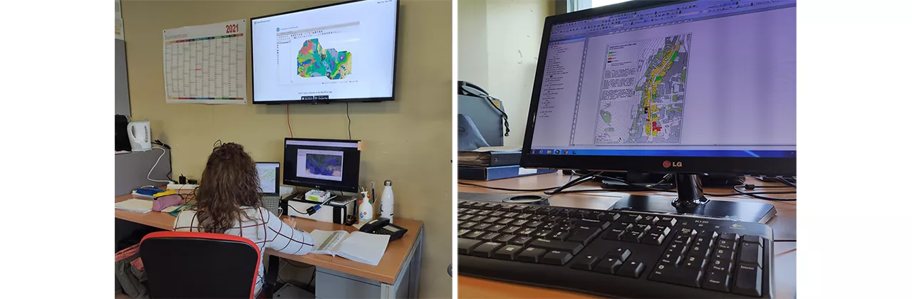
The GIS classroom was established in 2013 at DICATAM to host teaching activities in support of urban and territorial systems analysis, urban planning techniques, regional planning, and transportation.
Since then, the classroom has hosted numerous graduate students in Building Engineering and Architecture and Civil and Environmental Engineering. It is also an important resource for doctoral students and postdoctoral fellows in urban planning and transportation, who use the laboratory for their studies and research.
Dotazione
The GIS classroom is equipped with four workstations, each equipped with the following software:
ArcGIS 10.2
with five extensions (ArcGIS for Desktop is the Esri software product that provides a wide range of advanced GIS tools that allow you to identify patterns, relationships, and trends in geospatial data, highlighting what is often not easily deducible from a database, a spreadsheet, or a statistical analysis tool);
MapInfo
(MapInfo Professional v10.5 is a mapping application that runs on the Microsoft Windows platform and allows you to easily represent correlations between data and geography);
VISUM
(software for transportation planning, demand modeling, and network management; can be used for planning at various territorial scales) + VISSIM (PTV Vissim is the leading microscopic simulation tool for multimodal traffic flow modeling)
ENVI-met
for modeling the physical and microclimatic behavior of buildings and the urban environment, for urban planning applications related to climate adaptation, comfort, and human health.
Person in charge: Professor Michela Tiboni